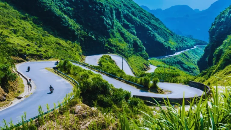
Few cities sit under a mountain this big. Table Mountain rises straight above Cape Town, and its flat top looks close enough to touch. The Platteklip Gorge hike is the most direct way to reach that summit on foot. It starts on Tafelberg Road and climbs the huge crack that splits the mountain’s famous front face.
The route is short, but it is steep. It also pays you back early, with wide views of the city and Table Bay long before you reach the top. In this guide, you’ll find the route, timing, safety advice, cable car details and tips for planning your climb this summer. Key facts come from SANParks and the Table Mountain Aerial Cableway, checked in November 2026.
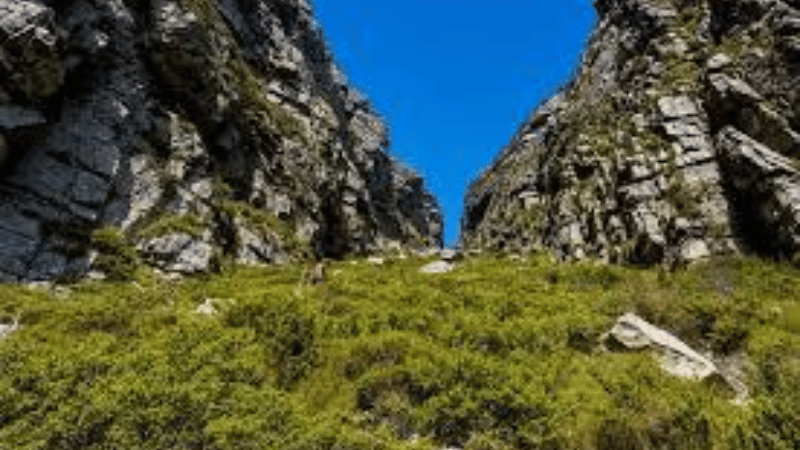
Why the Platteklip Gorge Hike Is Cape Town’s Classic Climb
South African National Parks (SANParks) describes Platteklip Gorge as the most direct and most popular route to the top of Table Mountain. The path is well built, with stone steps and erosion-control gabions. No section needs ropes or special skills.
Even so, the climb is relentless. SANParks’ own advice is simple: go slowly and stop often. Those stops are not a weakness. Each time you turn around, Cape Town and Table Bay look a little smaller, and the view gets better.
The mountain also sits inside Table Mountain National Park, which SANParks lists as a World Heritage Site. It is home to plants and animals found nowhere else on Earth. So you’re not just climbing a landmark. You’re walking through a fragile and very special landscape.
Platteklip Gorge Hike at a Glance
Here are the basics before we dive into the details. The figures below follow SANParks’ published guidance for the route.
- Start: Tafelberg Road, above Cape Town’s city bowl.
- Distance: about 3 km, all of it uphill.
- Time: roughly 1 hour for the very fit, up to 3 hours for everyone else.
- Difficulty: moderate to tough, depending on fitness and weather.
- Children: older children can manage it, but it is demanding.
- Dogs: not recommended, and not allowed on the cable car.
- Water: bring plenty of your own, especially in summer.
The Route, Step by Step
Starting on Tafelberg Road
The trail begins on Tafelberg Road. One community hiking guide places the start just beside a SANParks guard hut. A short, shady section follows, with a small stream running alongside the path. That stream is the only water on the route, so don’t count on it for refills.
Soon the path meets the Contour Path. Turn left and follow it for a short stretch. Then take a sharp right to continue up Platteklip Gorge. Both turns are marked with large signs, so you’re unlikely to get lost. Still, keep an eye out for that right turn.
The Stone Staircase
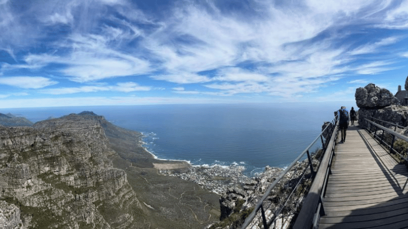
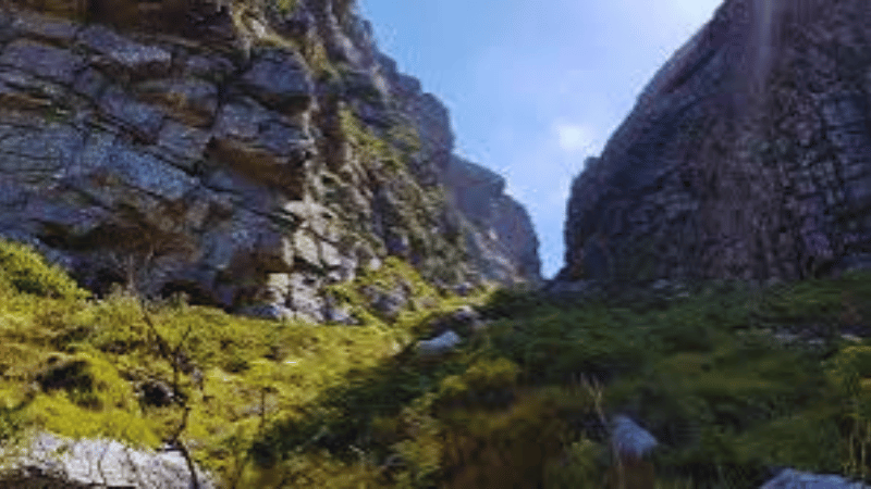
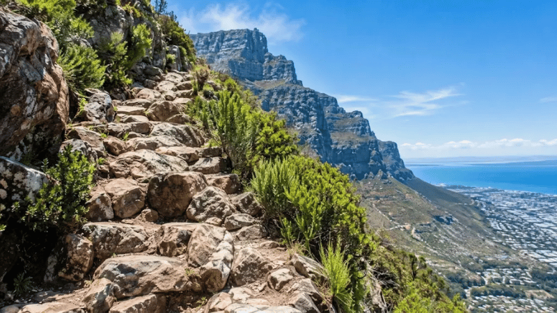
This is the heart of the hike. The path climbs a long series of rocky steps beside a watercourse. The gorge walls rise on both sides, and fynbos plants line the route. Fynbos is the hardy, fine-leaved shrubland that makes the Cape so botanically rich.
Pace yourself here. Take short, regular breaks instead of one long rest. Meanwhile, use each pause to look back. On a clear day, the views reach across the city centre and out over the bay.
The Narrow Top of the Gorge
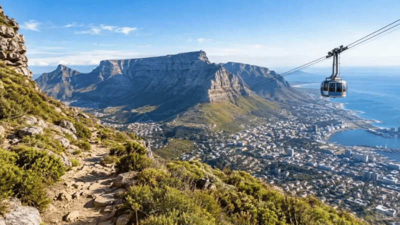
Near the top, the gorge narrows a lot. Local guides call this a highlight of the climb. When you step out onto the plateau, you’ve reached the table top itself. From there, turn left for the upper cableway station. Turn right if you want to continue toward the highest point on the mountain.
SANParks also notes that rehabilitation work has taken place on the upper section in 2026. It happened between the Contour Path and the summit in August. The trail stayed open, but expect occasional repairs and take care around workers if you see them.
Is the Platteklip Gorge Hike Hard?
Honestly, it depends on your fitness and the weather. The path itself is not technical. However, the gradient never really eases. SANParks rates the route as moderate to tough, and local guiding companies quote roughly 650 metres of climbing. That’s a lot of uphill packed into about three kilometres.
If you’ve tackled a long staircase climb before, you’ll know the feeling. The steep stone-step ascent in our Reinebringen hike guide for Lofoten is a good comparison. Both trails are short on distance and heavy on effort.
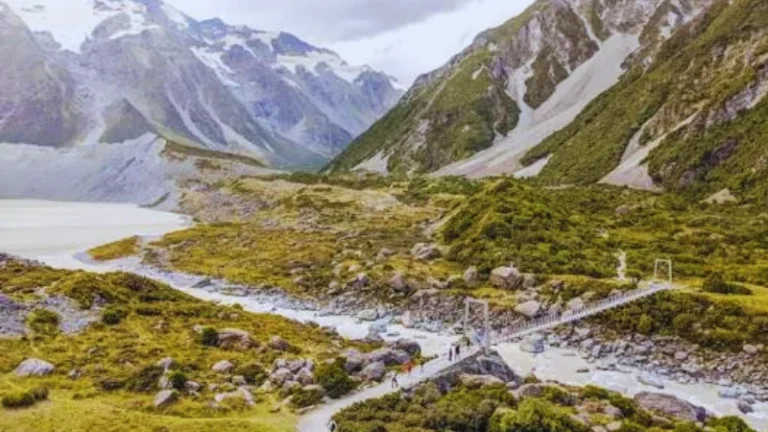
Prefer something gentler? Table Mountain has other options, which we cover below. You could also look at an easier mountain walk overseas, such as the flat, scenic Hooker Valley Track in New Zealand.
Best Time to Hike Platteklip Gorge
Season and the Southeaster Wind
Cape Town’s summer runs from about November to March. It is warm and mostly dry. Daily highs in the city average around 24°C in November, according to climate data sites.
The catch is the Southeaster, often called the Cape Doctor. Local guide operators say this strong wind blows from about late October to early February. It often brings the “tablecloth,” a thick bank of cloud that spills over the mountain. In those conditions, views vanish and temperatures drop fast.
SANParks warns that the top can be much colder than the start. An icy wind can blow even in January and February. So pack warm, windproof layers, even on a hot day in the city.
Time of Day
Start early. Local guides say wind and cloud usually build later in the day. An early start also helps you avoid the midday heat on the exposed gorge. If your schedule is flexible, plan the hike for the first days of your trip, so you have spare days if the weather turns.
Hiking Up, Riding Down: Cable Car Details
Many hikers walk up and take the cable car down. It saves your knees and the views from the glass gondola are excellent. The Table Mountain Aerial Cableway runs in 2026-27 on a set of seasonal hours, weather permitting.
In November, the first car goes up at 07:30. The last car goes up at 19:00, and the last car comes down at 20:00. From 1 December to 31 January, peak-season hours stretch the last descent to 21:00. You can check live status and operating hours on the official Table Mountain Aerial Cableway page.
For tickets valid from 1 July 2026 to 30 June 2027, the cableway lists these online prices:
- Adult: R475 return or R300 one-way.
- Child (4 to 17 years): R230 return or R165 one-way.
- Ticket office adult: R530 return or R330 one-way.
Tickets are valid for seven days. Prices and times can change without notice, so confirm them before you go.
One warning matters more than the prices. SANParks says sudden weather changes can shut the cableway without notice, and hikers have been left stranded at the top station in the dark. So allow enough time and daylight to walk down, even if you plan to ride. Carry a torch, just in case.
How to Reach the Trailhead
The Platteklip Gorge trailhead lies along Tafelberg Road, on the slopes above the city bowl. Visitor reports put it roughly 1.5 km from the lower cableway station. Signage on the road should point you the right way.
If you plan to ride the cable car down, remember that the walk between the two points is a separate stretch. Taxis and ride-hailing services are the simplest way to cover it. Driving is also possible, but parking can be limited at busy times. Check current road and parking conditions locally before you set out.
What to Pack for Table Mountain
SANParks asks every hiker to carry plenty of water, a hat, sunscreen and warm, windproof clothing. That list applies even on hot summer days. Add a few more items to make the climb easier.
- Sturdy shoes with good grip for the rocky steps.
- A light jacket or windbreaker for the summit.
- Snacks, such as fruit or energy bars.
- A fully charged phone and a small torch.
- Your cable car ticket, if you’ve booked one.
Safety on Table Mountain
Table Mountain is easy to reach, so it’s easy to underestimate. Weather changes quickly, cloud can drop with little warning, and wind can pick up fast. Check the forecast on the morning of your hike. Turn back if conditions look poor.
Crime is another point to take seriously. Cape Town Tourism and rescue teams advise hiking in groups and keeping valuables out of sight. Robberies have been reported on the mountain, so leave non-essentials at your hotel. Don’t hike alone if you can avoid it.
Save these emergency numbers in your phone before you start:
- Wilderness Search and Rescue: 021 937 0300.
- Table Mountain National Park emergencies: 086 110 6417.
- From a mobile phone: 112.
SANParks reminds visitors that hiking in the park is at your own risk. For route details, guidance and current notices, see the SANParks Table Mountain hikes and trails page.
Fees and Permits
SANParks charges daily conservation fees at several Table Mountain National Park areas. The 2026-27 list, valid from 1 November 2026 to 31 October 2027, names Boulders, Cape Point, Newlands, Oudekraal, Silvermine and Tokai. Platteklip Gorge is not on that list. You can double-check the current rates on the SANParks rates and entry fees page.
The cable car is separate and sets its own prices. So does Kirstenbosch Botanical Garden, where the Skeleton Gorge route begins. Rules can change, so confirm the details before you travel.
At the Top: Maclear’s Beacon and the Plateau
Reaching the plateau is not the end of the story. The upper cableway station has food and drink options if you need a break. The whole table top is also worth a wander.
The highest point is Maclear’s Beacon, at 1,088 metres. That’s only 21 metres above the upper cableway station. The walk takes about 45 minutes to an hour each way. SANParks says it’s an easy route, with yellow footprints painted on the rock to mark the path.
One firm rule applies here. Don’t attempt the Maclear’s Beacon walk in low cloud or mist. It is very easy to lose your way on the plateau when visibility drops. Use the marked path only, and don’t climb down at any other point.
Other Table Mountain Routes to Consider
If Platteklip Gorge feels too steep, or you want a different view, SANParks lists several alternatives.
- Lion’s Head: about 2 km one-way, 1 to 1.5 hours up. It is rated easy with some minor rock scrambling, and its 669-metre summit gives a full 360-degree view.
- Skeleton Gorge (Smuts Track): about 4 km, taking 2 to 4 hours one-way. It starts in Kirstenbosch and passes through shady forest, but some sections get slippery after rain.
- The Pipe Track: a long, stony path below the Twelve Apostles. It is exposed to afternoon sun in summer, so go early.
Another good idea is to match the hike to your trip. For example, a slow, scenic walk through wax palms in Colombia’s Cocora Valley suits travellers who want views without a steep climb.
Final Thoughts on the Platteklip Gorge Hike
The Platteklip Gorge hike is not a gentle stroll. It is a steep, honest climb that rewards you with a front-row view of one of the world’s great city landscapes. The path is well built, the route is clear, and most reasonably fit visitors can manage it with patience.
Start early, carry more water than you think you need, and pack warm clothes for the top. Check the weather before you leave, and keep your cable car plans flexible. Then take your time. Every pause on the staircase is another chance to look back at Cape Town spreading out below you.
Explore More Worldwide Adventures
If this guide has you dreaming of Africa, there is plenty more to explore on LessExplore. Browse our worldwide travel guides to hidden gems, waterfalls, hiking trails, scenic escapes and practical travel tips. For desert scenery, start with the red dunes in our Sossusvlei and Deadvlei guide to Namibia. For a waterfall day out, see this visitor guide to Ouzoud Falls in Morocco.
FAQ Section
SANParks says the climb takes about 1 hour for very fit hikers and up to 3 hours for less fit walkers. Allow extra time for photos, rests and the walk down.
SANParks rates it moderate to tough. The path is well built with stone steps, but it is steep for about 3 km. Heat, wind and cloud can make it harder.
Yes. The cableway sells one-way tickets, and many hikers walk up and ride down. It runs weather permitting and can close without warning, so leave enough daylight to walk down.
SANParks’ 2026-27 conservation fee list does not include Platteklip Gorge. The cable car and Kirstenbosch charge their own fees. Check the official pages before you go, as rules can change.
Authorities advise hiking in groups and keeping valuables out of sight, as robberies have been reported. Save the rescue number 021 937 0300 in your phone, check the weather and tell someone your plan.